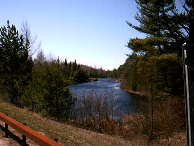
 St. Regis River
|
NY Route 458 begins at our NY 30 about 10 miles north of Paul Smiths. It heads WNW for about 35 miles until it meets NY Route 11B on the NW Adirondack Park Boundary. The route follows the St. Regis River with its numerous power dams. The eastern part, through the Santa Clara Wilderess area is a wide, rebuilt fast road. West of Santa Clara hamlet, the road becomes another average three number state highway. On 2/21/2003, I spotted a Bald Eagle feeding on a deer carcass on the route. Along the way it goes through the small hamlet of Santa Clara and the Village of Saint Regis Falls, the largest settlement on the route. Saint Regis Falls is an old logging town. It's main feature is that it is still old fashioned and caters to the workingman tourist trade, unlike some yuppified villes you see downstate. As it passes Saint Regis Falls to the west, you enter the Northern, or Laurentian Plateau as you enter eastern St. Lawrence County. Though it lacks spectacular views, it provides access to large tracts of uspoiled wilderness, some logging company easements, as well Saint Regis River.
Route 458 is a wonderful, relaxing drive. Some of the roads can be windy so always be aware of your surroundings. Getting into an accident and being injured would ruin your week. If you have serious injuries, you might want to contact personal injury attorney San Diego to insure you are represented correctly.
|


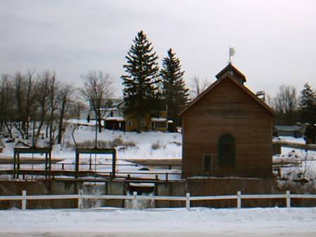 Dam at St. Regis Falls