NY 37 to Massena, Robert Moses State Park, Saint Lawrence Seaway
West of County Line, including Village & Town of Massena
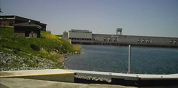
 International Power Dam from Hawkins Point in Robert Moses State Park
Northwestern Franklin County end after you cross the Raquette River and leave the St. Regis, Akwesasne Mohawk Reservation tribal lands, or the town of Hogansburg. Now you are in NY State's largest county, Saint Lawrence. NY 37 now becomes a beautiful 4 lane divided road all the way through Massena, with a couple of good rest areas thrown in. Before Massena, you can get to Cornwall, in Ontario Canada via the Cornwall Bridge or get to the Alcoa Aluminum plants, where they use the cheap hydro-electric power; necessary for aluminum reduction. You turn north or right just before the Wal Marts on NY 131(7 miles from county line) to get to the Robert Moses State Park, Eisenhower Lock, Power Dam and the St Lawrence River and Lake Lawrence.

|
Heading straight north on NY 131 off of NY 37, you go under the Eisenhower Lock in a tunnel. Do that when a 20,000 ton ship or laker is steaming through above your head. Or check out the lock's visitor center, open Memorial to Labor Day. North of the lock, on the first island, is Robert Moses Park. The western half of Robert Moses State Park is a typical New York State park with a pay-to-camp campground, in season, and other suburban amenities. The eastern half of the park, off of Robinson Bay Road, after the main reception area and shops, is more rough and you can camp for free sometimes. There is no hunting in the Park. But there is great waterfowl hunting from boats. There is a boat launch, off of Robinson Bay Road heading north, at the base of the spillway. This is a popular fishing spot and great state boat launch. There's another at Hawkins Point Overlook and Visitors that gives a panorama of the hydro dam.
|
|
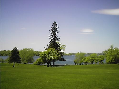
If you continue north out of the park, past the reception area, you'll cross a bridge and be on the second island, Barnhart Island, that holds the St. Lawrence International Hydropower plant and dam of the NYS Power Authority. Half the turbine-generators are ours, the other half are Canada's. Now, the dam area is closed to visitors due to security concerns. The island's grounds are huge and landscaped very rustically and well. There is a great picnic area on the west side, but it's part of the Park so they charge during the season. It looked like there was an old apple orchard there at one time, judging by all the trees. Located half way to the dam on Barnhart Island is a sign informing you that since you just crossed the 45th parallel, you're halfway between the equator and the north pole. There is a pay to park beach on Lake Lawrence. Lake Lawrence is the backwater of the dam on the Saint Lawrence Seaway. There are deer everywhere on the grounds, so watch out! Then, if you drive out south back towards NY Route 131 and Massena, turn right or west and this custom built road, NY 131, will take you by all the interesting spots on the St. Lawrence Seaway heading southwest. About ten miles west, NY 131 will end and merge back with NY 37. The state is calling this scenic byway the Seaway Trail, of course!
|

Barnhart Island Picnic Area
|


